The “Twining” Burn of April 26, 2008.
Shortly after 11 AM on April 26, 2008, all kinds of messages went over the scanner about a forest fire on the hillside property of North East Concepts, Inc. Immediately I got in my car and drove there.
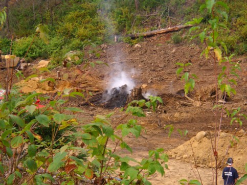
This is my first picture I took with my I-phone, (click on any pictures to see a larger picture):
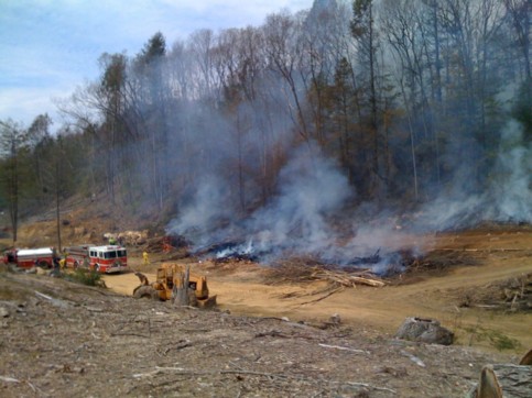
Time stamp: 2008-4-26, 11:27:49AM. There are three piles of brush, the pile on the very left is still burning. Airborn ambers set the hill behind the burning brush piles an fire.
Picture no.2:
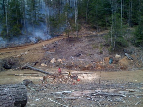
Time stamp: 2008-04-26, 11:27:59AM. Smoldering hill already extinguished, the road in the upper half of the image is the steep access road to the plateau shown in picture no.6; the road in the lower part of the image leads to corner of Chandler and Chaffee road. Two farmhands are splitting wood with a gas powered wood splitter right next to a gas powered conveyer belt to load the fire wood on Mike’s red truck for delivery; yes, some people heat their houses with wood and Mike and his farmhands supply the wood to these people. Wood by the way is a also a farm product according to the laws of the Commonwealth.
Picture no.3:
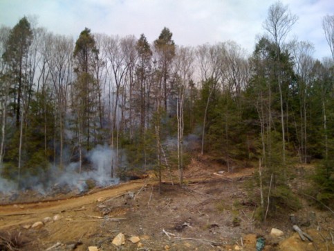
Time stamp: 2008-04-26, 11:28:05AM. The plateau is behind the trees shown in the picture.
Picture no.4:
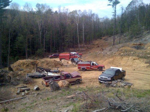
Time stamp: 2008-04-26, 11:30:24AM. A fire truck on its way delivering water that was emptied into a folding pool shown in the next picture. This view is towards south-east, the reader can clearly see the clear-cut area along Abmber brook where houses are. The scorched area is well to the north and no houses were in danger as one comment falsely states, (The fire was racing up the hill towards the homes that abudt your [North East Concept’s property that is, not LaMountain’s] property!).
Picture no.5:
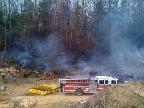
Time stamp: 2008-04-26, 11:30:39AM. One brush pile still burning. The picture also shows fire fighting personnel and the folding pool right next to the fire-engine.
Picture no.6:
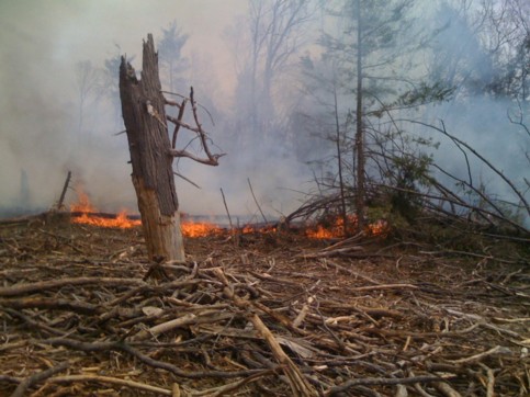
Time stamp: 2008-04-26, 11:44:21AM. This is the plateau where the fire was stopped. There were no trees on this plateau, however, there was brush at least half a foot high and the fire would have reached the other side without the firemen’s intervention.
Picture no.7:
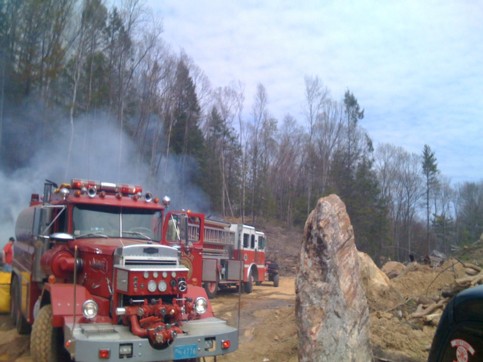
Time stamp: 2008-04-26, 11:50:19AM. One Fire truck in the foreground is emptying his cargo of water into the folding pool while another Fire engine pumped the water uphill.
Picture no.8:
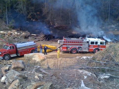
Time stamp: 2008-04-26, 12:08:08AM. At this point all the fires were extinguished and saturated with water to make sure they would not re-ignite.
All involved people in allowing the burn and lighting the burn showed poor judgment. It is the brave men fighting the fire who saved the day. LaMountain’s statement that there weren’t any trees on the plateau is true as picture no.6 shows. However, there was brush at least half a foot deep and it was just a matter of time for the fire to get to the other side. LaMountain’s statement that there are no houses up there is also true. The houses of Karen Raymond and others are all south of Amber brook and on the other side of the access road.
Common sense:
Almost any cell phone these days has a built-in camera. The question is why the two environmental police officers who arrested Jim LaMountain recently (September 2, 2009) for allegedly lighting two brush fires without permit, didn’t take any pictures. Pictures don’t lie! The two environmental police officers described two fires as, “The two burning piles were approximately 50 feet apart. One burning stump pile was approximately 6 feet high and 25 -30 feet around in diameter. The second pile was smaller.” In their police report. Wouldn’t it make sense to take a picture with a cell phone for evidence?
This is a picture of one of the “burning piles,” of September 2, 2009, the pile that was noticeable to me and used as reason for LaMountain’s arrest:
Compare this “burning pile” with the“ three piles of brush that are shown in picture no.5 of the burning that took place on April 27, 2008 and judge for your self!
Ocotber 9, 2009, Peter Frei